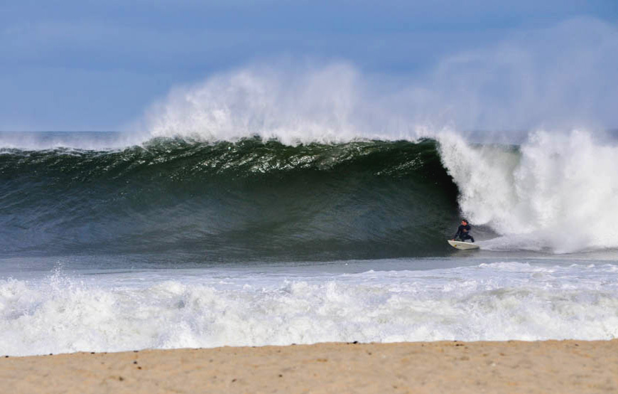
East Coast Hurricane Surfing
Well, the hype was there all week for Tropical Storm Arthur (turned Hurricane) to roll up the coast and bring some wild weather and surf. Unfortunately for the NY/NJ Region this bad weather hit smack in the middle of July 4th.
Despite the few surf forecast charts, that changed course every 15 mins for actual expected wave heights and timing, nobody had a clue how big the surf would build and when it would hit.
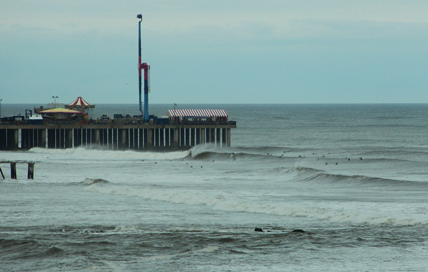
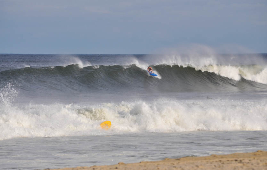
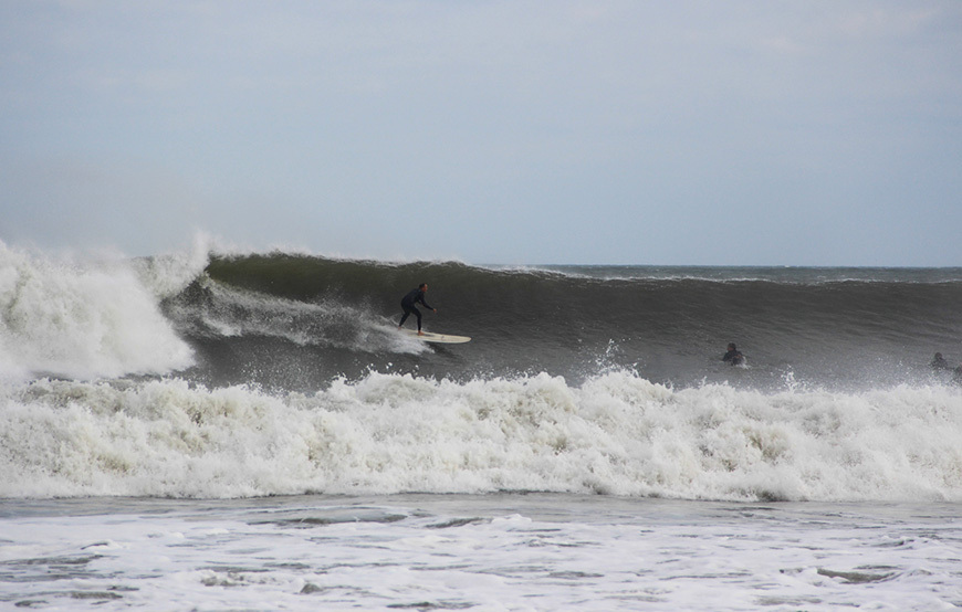
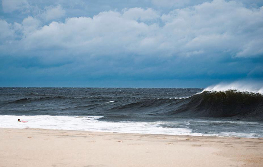
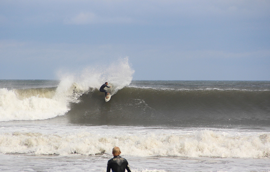
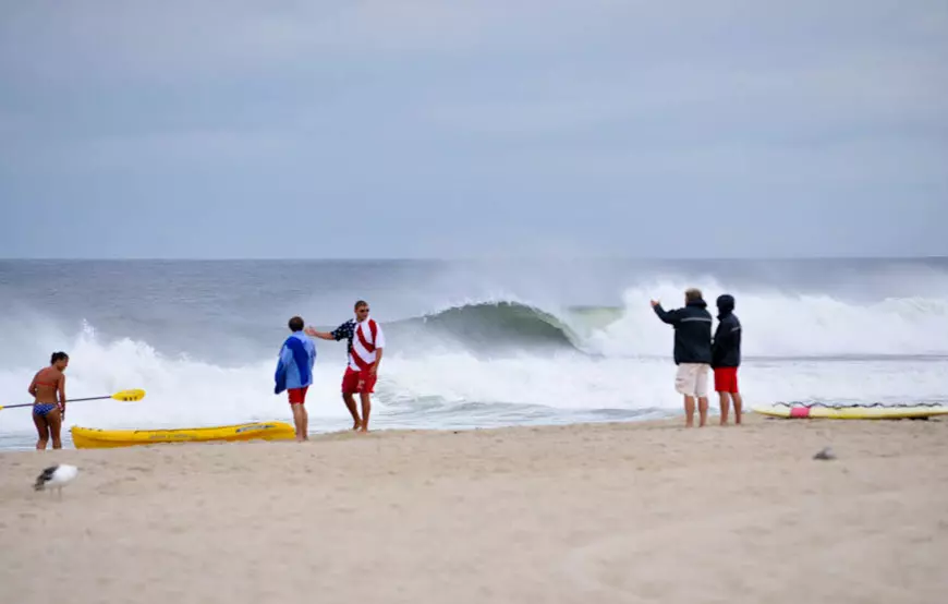
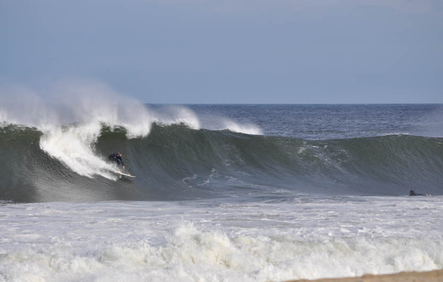
Right around 5pm, the waist high remnant windswell jumped up in size big time! It literally went from 2ft + to overhead plus within 20 minutes! For those that paddled out for the swell spike realized it was still building and kept getting larger and more consistent. If you attempted to paddle out and got denied, it’s probably for the best.
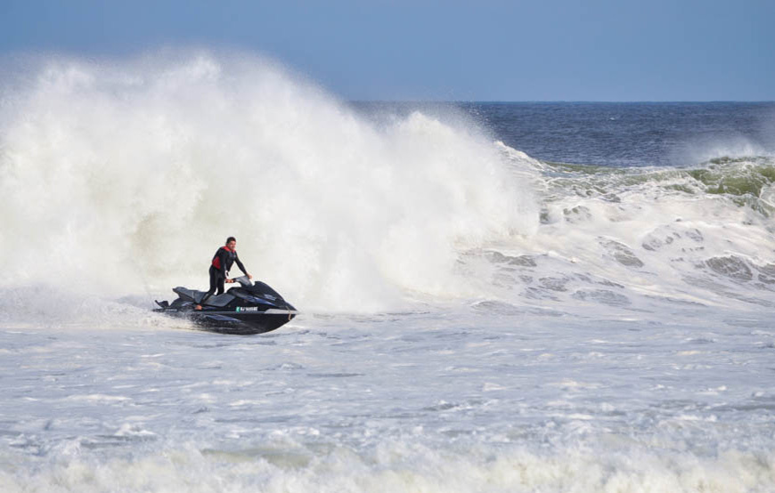
There were some solid, well overhead sets with LOTS of power and it was relentless! Spots in Central Jersey were a bit confused, but still rideable.. Southern NJ and Long Island, NY turned out to be the best regions for wave quality!
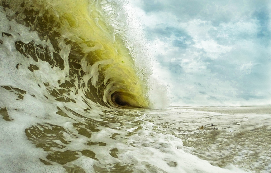
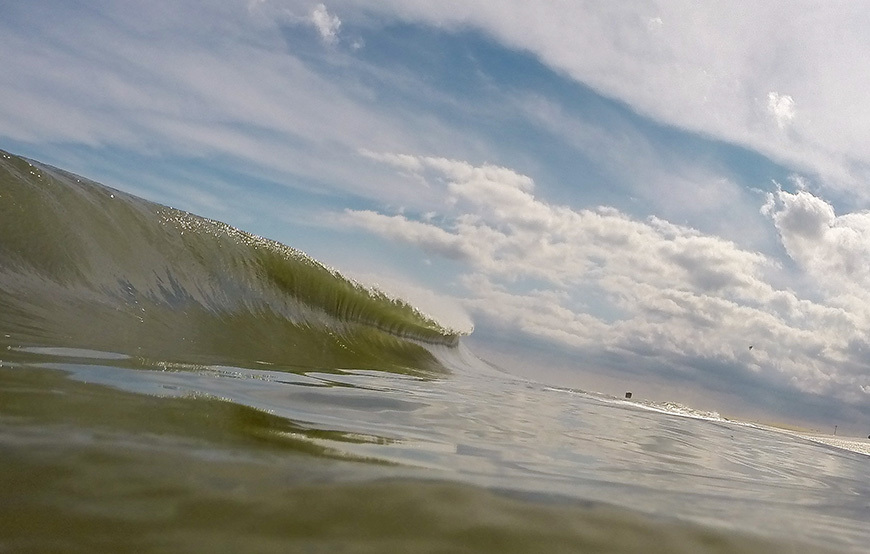
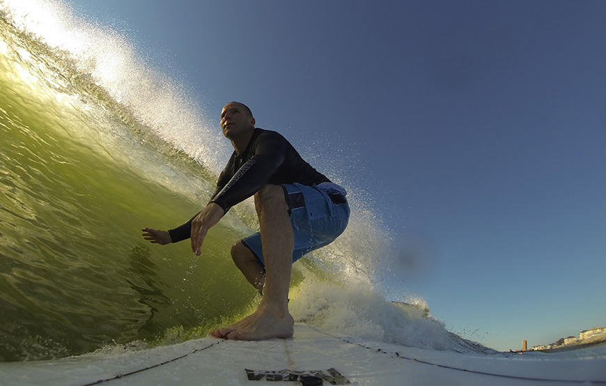
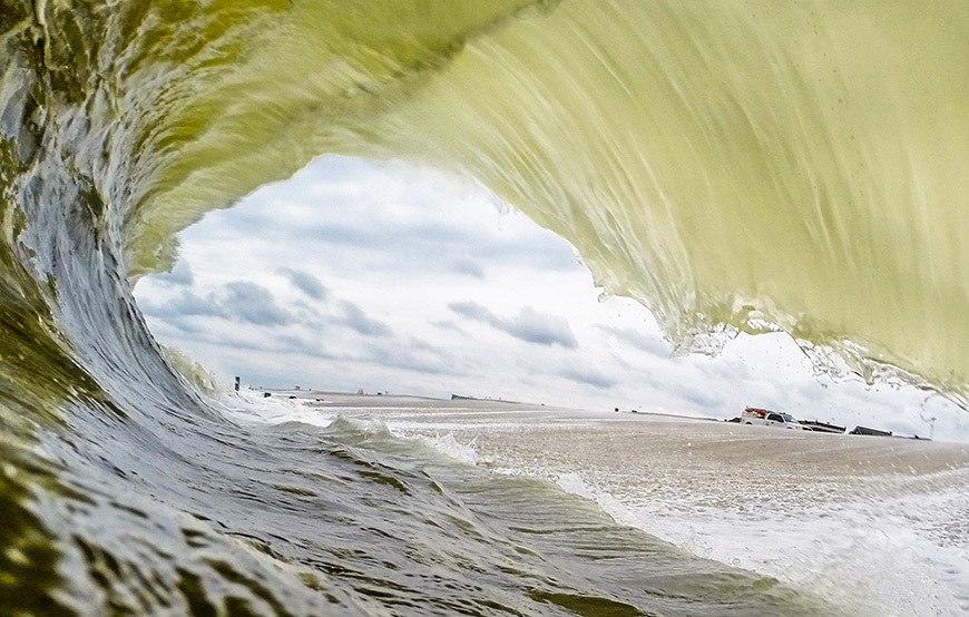
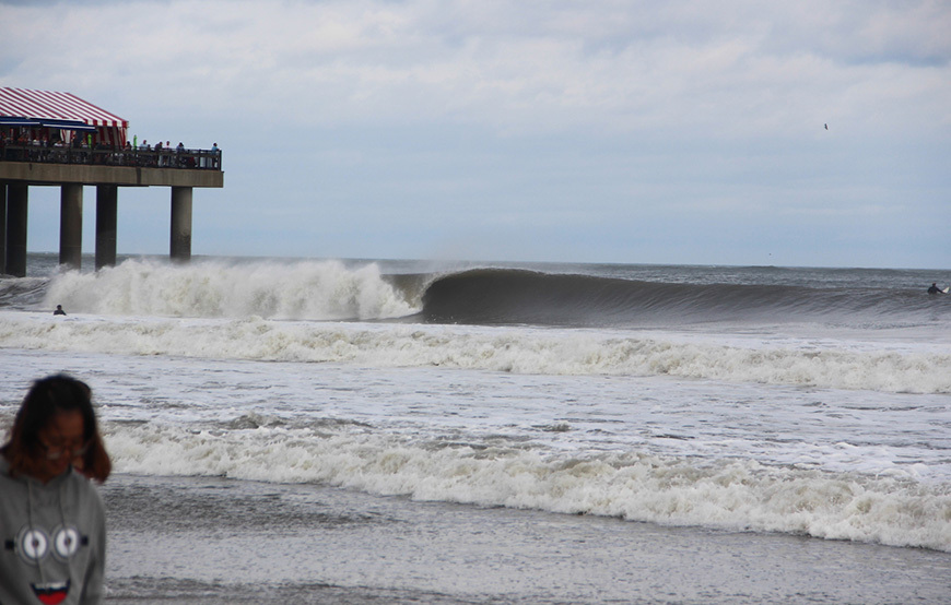
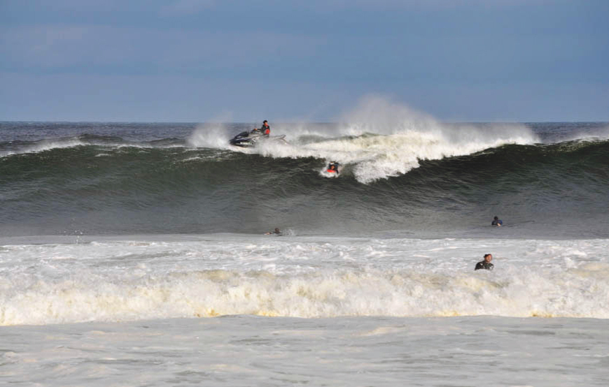
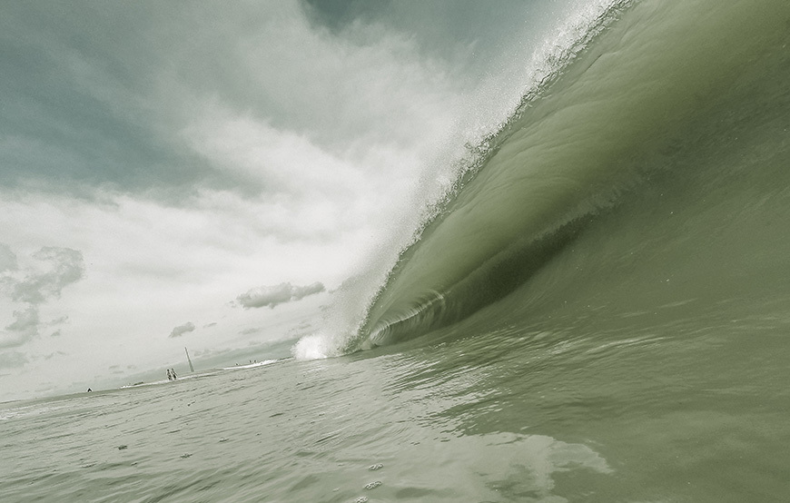
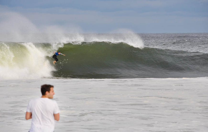
Here are a few photos of this swell event! Let’s hope there will be more Hurricane swell activity for the season! (without making landfall!)
